

17.6. Appendix F: AEZ Sheets: Recorded Wrecks with No Corresponding Geophysical Anomaly
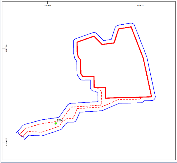
UKHO 2884 Unknown | ||
|---|---|---|
Location
| Proposed Development export cable corridor |
|
Position coordinates | 555261.1 6209598.8 | |
Archaeological Potential | Unknown | |
AEZ dimensions | None | |
| ||

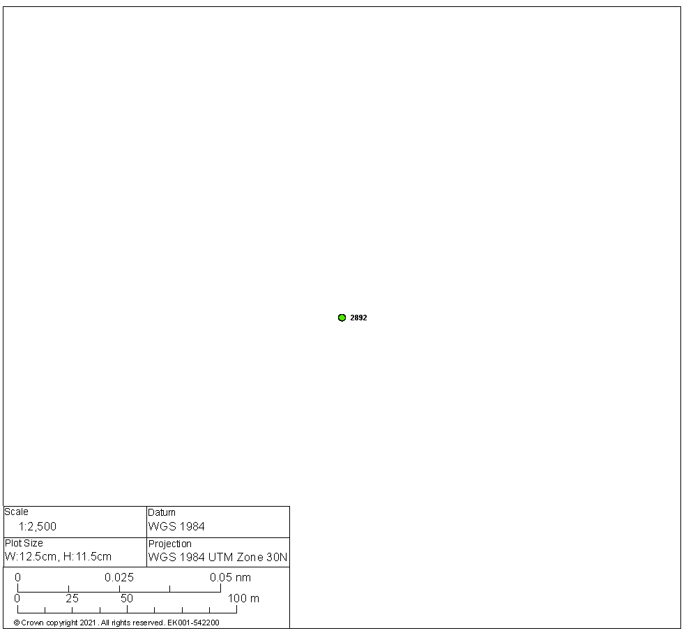
UKHO 2892 Unknown | ||
|---|---|---|
Location
| Proposed Development export cable corridor |
|
Position Coordinates | 549717.9 6209342.0 | |
Archaeological Potential | Unknown | |
AEZ dimensions | None | |
`
| ||

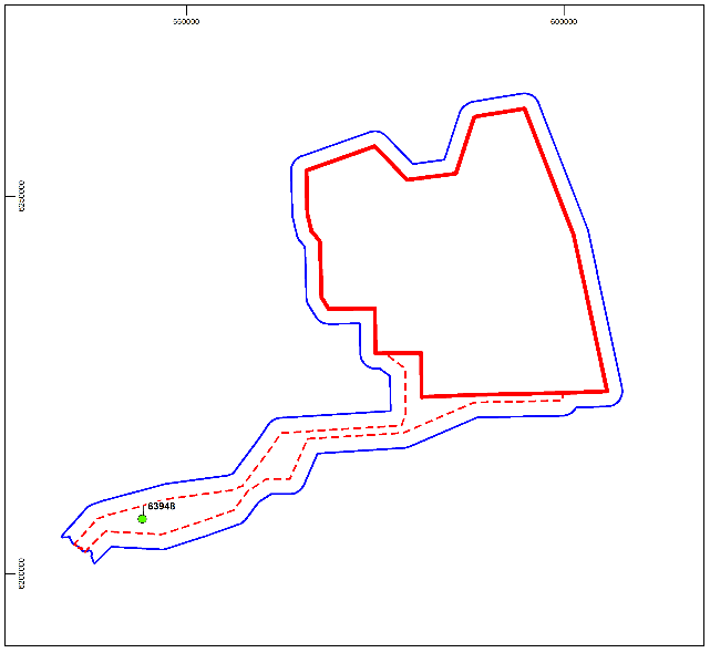
UKHO 63948 Unknown | ||
|---|---|---|
Location
| Proposed Development export cable corridor |
|
Position Coordinates | 547196.8 6208000.2 | |
Archaeological Potential | Unknown | |
AEZ Dimensions | None | |
| ||

[1] Scottish Borders Council (SBC), Historic Environment Scotland (HES) and East Lothian Council Archaeology Service (ELC).
[2] the extent of the Geophysical Survey Area is presented in the Marine Archaeology Technical Report
[3] The UKHO records mark the wreck as 'dead' (the wreck has not been identified following repeated surveys suggesting it does not exist at that position)
[4] BBMB_SSS_2020_0230 lies within the recommended high potential exclusion zone for BBMB_SSS_2020_0298.
BBMB_SSS_2020_0255 lies within the recommended high potential exclusion zone for BBMB_SSS_2020_0212
[5] BBMB_SSS_2020_0254 lies within the recommended high potential exclusion zone for BBMB_SSS_2020_0212.